Snow conditions haven't been great. I could have toughed it out at a known trailhead higher in the mountains, but what about this line on a map right here? It doesn't look like a road. In fact, it almost looks like... a trail!
Since it wasn't a trail on any official maps I was not expecting it to be much more than a faint scratch. I was wrong. It was a legit trail. Easy to follow. What the heck? Oh. I see. Mountain bikers.
Hikers and mountain bikers have a bit of a strained relationship. On the one hand, hikers slowly climb up and down trails enjoying nature and striving to minimize their impact. On the other hand, bikers SHRED GNAR AND SCREAM DOWNHILL TEARING UP TRAILS AND BUILDING JUMPS AND SICK OBSTACLES. I kid, I kid. That's more motorcycle riders than mountain bikers. I'm just jealous. The times I've tried to mountain bike I've found I'm not suited for pedaling uphill and scared to come down quickly. What's the point? (I'd rather get high on dopamine than adrenaline any day.)
There were a number of jumps and walkways that had been built, but in general, it was a hiking trail. A lovely, lovely hiking trail that wound through the forest gaining elevation steadily, but not crazily.
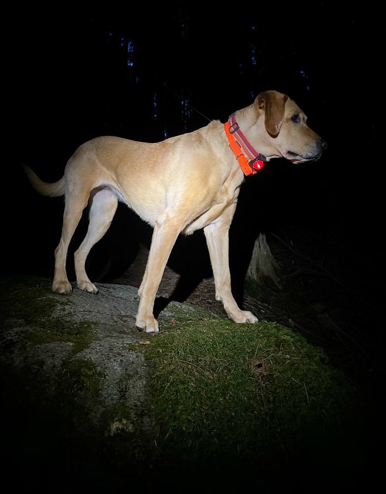
We'd started in the dark, as usual, and made pretty good time up until I started hearing things. I was sure it was voices or dogs or bigfoot? I actually called out a couple of times and put Tink on leash. Of course there was no one else out here so we pushed on.
When the daylight came we were treated to a few minutes of a magnificent alpenglow in the forest before the sun rose above the clouds and the world was muted again.
The bare trail became icy and then snowy. It was never hard to follow until we intersected a road below a logging show. Without the thick trees above, the snow was piled deep. A bit of a struggle, but we got up to the flat spot and I realized we weren't going to make it to the ridge.
We were only a few hundred vertical feet from the top, but slogging through two feet of wet snow would make that an hours-long effort and those were hours I didn't have. So we turned around and headed down.
There was a laminated sign tacked to a tree explaining the "rules" for this trail. It appears the trail was built by a handful of enthusiasts and exists now with the tacit approval of the land managers. Very impressive given it crosses through both state and federal land. It also encourages others to not build their own trails. E-bikes are prohibited because everyone should have to hike their bike to the top. Overall, it feels very gatekeepy.
Regardless, it was a good day on the trail. I'm glad the trail was there and I'm impressed by the work that went into it. I don't know that I'd hike it when the road to get to the top isn't snow covered as I expect there'd be bikers coming down.
If nothing else, take this as another reminder to find a line on the map and go explore. Sometimes you'll find something great.
📍On the lands of the Snoqualmie people.