It turns out I'm the proverbial old dog that 100% can't learn a new trick. Or a lesson. What makes me say this? Well, this is the fourth adventure race I've done.
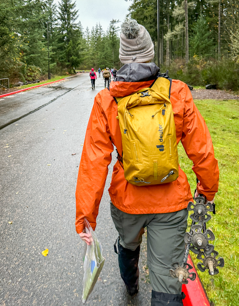
For sure they're fun. It's like hiking, but with a goal. Or a whole bunch of goals. Here's your map. Use your compass. Keep your fancy GPS in your pocket. Now go find these checkpoints!
We could have stayed on trails, but we all know the shortest distance between two points is a straight line. Note that it's not the "fastest," but "shortest." That's because sometimes the direct route means you have to wade through a swamp. Or through thick brush We did both.
Since it's a race, there's pressure to get back "on time." For us, that meant I actually ran. Henry ensured it would be entertaining for everyone.
The most interesting part of the race was the "Remote Control Navigation" section. Henry took his compass and phone and headed down the trail. I stayed at the TA ("transition area") with the map and my phone. I directed Henry.
Go east when you get to the four-way intersection.
It's a three-way intersection.
Oh... um... north.
Northeast?
Sure.
Do you see a big flat rock?
Yes.
Go 10 meters north of the rock.
FOUND IT!
If you look at our track, you'll see there are lots of detours and reversing direction. That's because we'd go to get a checkpoint and then turn around to go somewhere else.
Elevation gain was minimal, but the distance was decent and we did it a lot faster than if we were actually in the mountains. All told, I'll do it again.