Putrid Pete's Peak is such a misnomer. It sounds like the peak is putrid, but really it was Pete. (Actually, Pete was supposed to be quite a guy, but the next peak over named for Dirty Harry, well, that's appropriate.) Names aside, this climb is one of my favorites on the TNAB schedule.
This year we had a bit of extra work to do thanks to yet another road closed by damage. The trailhead we usually start at is blocked by downed trees and a creek blowout. In fact, there's water actively running across the road up high. To get to the trailhead we started just off the freeway and followed a little creek up a 600 foot high slope. It's not a real trail so it's loose and mossy and really pretty unless you're trying to make good time climbing.
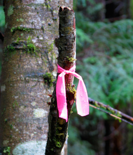
It's the sort of place I'd love to go back and saunter around taking pictures. The creek is really nice with some small waterfalls and the trillium were just starting to bloom. The route was marked with bright pink flags so it was easy to follow up to the road.
The lower portion of the PPP trail (I'm too lazy to type that each time) is a pretty well established, but unofficial trail through the dark woods. It switches up the hill at a decent rate before coming out of the trees at the base of the steep, open slopes. Snow began a bit higher making the climb slippery and full of falling rocks. I donned my helmet as a service to the others. Rocks were guaranteed to find my head instead of theirs.
Tokul was way ahead, as usual, but I caught up and passed her. She was having some trouble in the snow and rocks. Since there were others behind me I kept going, but felt guilty about it. Higher I put my head down and followed the steps kicked into the hard snow to the top where I tagged the summit and immediately headed down. There were no views to distract and I was soon back with Tokul, about 400 feet below the summit. (She was hiking with the trailing member of the group.) I considered turning back so she could summit, but instead we headed down out of the snow.
The steep snow gave way to rocks and grass and then to the talus just above the trees. We waited for everyone to catch up and then we all headed down in a group. Or at least that was the plan. I was at the head of the lead group and got to the summer trailhead with no problems. The other group was a bit delayed due to a minor navigation error, but came out with everyone accounted for. We dropped from the road to the cars and then to the Pour House arriving at almost 11:15. Ugh.
Total distance was seven miles and 3,950 feet. I should have gone back up 50 feet to make it a nice, respectable 4,000 feet. Oh well. Next time.