It was pouring at the school bus turnaround that serves as a trailhead for Mt. Teneriffe, but as TNAB assembled and showed off its fancy rain gear the clouds parted. Hmm... maybe "parted" is the wrong word. More like "stopped pouring rain and just hung around threatening us like a spoiled rich kid trying to be tough after running away the night before," is more appropriate.
Two of my hiking companions, who shall remain nameless, but will be known as "The Morons," had arranged a race up the mountain. So while the rest of us ambled along the dirt road to the trail The Morons ran out of view. (Kudos to Moron #1 who decided to climb in light trail runners and tagged the summit first thanks to the distance he put between him and #2 on the road run. Too bad his toes are probably still frozen.)
In the past we've hiked up a sort-of-not-really-a-trail trail that follows the creek. However, this not-a-trail trail has been taking a beating from folks like me and getting worse and worse. The powers-that-be finally decided the stunning Kamikaze Falls were worth a real trail so they're building a sustainable trail. Hurrah! Being good stewards of the environment, we chose the new trail to the not-a-trail trail. It was mostly roads, but dumped us on the not-a-trail higher up and above the eroded section so it was all good.
Tokul took off with the fast hikers and I plodded along making ok time past the waterfall, to the ridge, and to the rock where Tokul fell last time. She wasn't there so she must have had no issues going over it. It must be nice to have such a short memory.
Unfortunately, it was just past Tokul's Rock (as it shall henceforth be known) that we started encountering snow and I started bonking hard. My PBJ in the parking lot wasn't cutting it and I felt drained and a little sick. The few folks I had passed or at least stayed ahead of caught up and passed me.
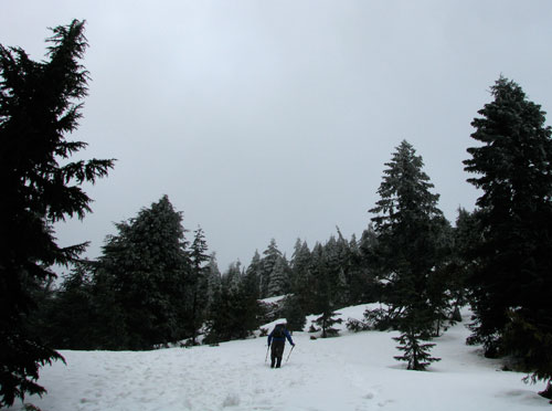
Luckily, the summit wasn't too much higher and I traveled back in time to the middle of winter with deep snow and ice-coated trees to arrive precisely in time for the group summit shot. I drank and ate and felt a touch better and then we headed down. Crampons or at least micro-spikes would have been helpful for the icy sections, but aside from a few spots it wasn't too bad.
As we were got lower it got warmer and hotter and wetter. We stopped to shed layers and I wound up hiking out in a t-shirt with thigh-vents open on my pants.
In spite of feeling lousy on the climb up it was great to be on top via this more direct route. It would have been hecka better had the clouds cleared, but at least it wasn't raining.
Totals? 7.3 miles and 3,953 feet. (Kind of makes me wish I'd gone down 47 feet and then back up for a nice round number. Oh, well. Next time.)