I must admit I never thought I'd be taking a cab to a trailhead, but there's always a first time. Of course, I never thought I'd be hiking in San Francisco except maybe up some of those wicked steep hills that everyone takes pictures of.
Nevertheless $30 later I was standing on the side of the highway shivering in the chill wind. Wait, I'm in California, right? Isn't it supposed to be warm in the summer? Hmph.
I crossed the road (why? to get to the trailhead, of course) and grabbed a map from the empty guard shack at the parking lot for San Bruno Mountain State Park. (Yes, of course, I had my own map and compass and gps and most of the other essentials, but local info is often better.) I found the trail I was looking for (the Summit Trail, of course) and started up the overgrown trail only to have it start descending. (The one part of the mapping I didn't have was a topo map.)
In fact, the trail descended quite a bit as I hiked west. The brush that rose high on either side of the trail was a mixture of brambles and something close to sagebrush. At times I'd find flowers that were unfamiliar, but not in any quantity.
After about a mile I had reached the low point and started a slow climb switchbacking lazily to the ridge to the south. All along I could see fog spilling over the saddle above me. I was already chilled in spite of climbing a little and the prospect of getting into the stiff wind above wasn't a winner.
At the trailhead I had only spotty cell reception so I had dropped a call to Amy. Higher on the ridge I was able to get in touch again and let her know where I was and that the weather was not nearly as good as back home where blue skies and 80 degree temperatures made it a pleasure just to exist.
Upon gaining the saddle I could look to the west and see the vague outlines of houses below stretching into the fog. Above me was the first of many radio towers I'd encounter. San Bruno is about 1,500 feet taller than anything else in San Francisco so most of the broadcasts were done from there. That meant, of course, lots of fences and a road cutting across the trail at one point. Still, with the wind blowing and the fog obscuring most of the vistas it was difficult to tell I wasn't really in the wilderness.
From the summit I started descending and intersected the Ridge Trail that ran to the east for several miles before ending abruptly. I looked at my watch and realized I had tons of time so I decided that I'd wander that way for a bit. Just as I passed under another massive tower I felt the first big sploshy raindrops and decided that was a good reason to turn back. (In retrospect those were the only drops I felt and were probably just condensation off the tower.)
Back at the Summit Trail I dropped a bit more and found a very windy overlook. An unmarked trail continued down the spine of the ridge, but without knowing exactly where it went I decided to return to the Summit Trail. Just a bit downtrail from there I found the official turn to the Dairy Ravine trail that I was looking for. No surprise, it joined the unmarked trail just below the overlook.
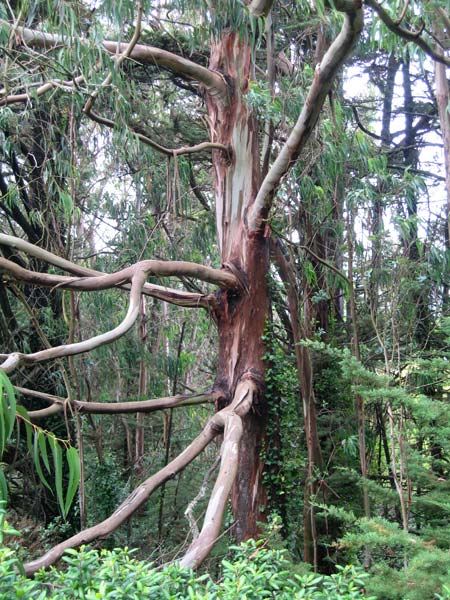
One of the things I like most about hiking in new places is seeing the differences between there and my usual hiking areas. The biggest difference here were the trees. They grew only in big clumps that maintained their own little worlds. Entering a cluster of trees and the wind died, though the roar through the leaves reminded me it was still there.
I met the only other hiker of the day descending back to the trailhead. He looked surprised to see me and even more surprised I was in just shorts and a t-shirt. When I found the junction with the Eucalyptus Loop I made another right and followed that further east before it curled around back to the trailhead.
Hmm... I've still got hours before I need to be anywhere (and that was just to be at the hotel and dinner) so I decided to tackle the 2.5 mile Saddle Loop on the other side of the highway. Unfortunately, while the south side of the park is single track trail with some semblance of wilderness the north side is an old road (that might still get some maintenance driving) so it was far less interesting. It was also much more exposed so the wind did its best to try to blow me over. (Don't worry, I prevailed.)
Rounding the shoulder I looked down to see the Cow Palace (huh?) and downtown San Francisco for just a short while before the fog engulfed it again. The only interesting part of the Saddle Trail was a dark silhouette that popped out of the weeds and then disappeared again. Later I'd see signs that said, "Don't fee the cats!" so I assume this must have been one of a hungry litter.
Near the end of the Saddle Loop I detoured onto the Bog Trail for something a little different. It did a little bit in the trees, but never did it feel like a bog or anything similar. (They want a bog? They should try the Swamp Monster trail on Tiger. That's a bog.)
After the Bog Trail I had exhausted just about all the hiking opportunities except the Old Ranch Road Trail that paralleled the highway down to the shore. However, I'd put in about 10 miles already and I was starting to get hungry (I'd had only a bar all day thanks to the new policy of no food served by airlines) so I got out my phone to call a cab. Except there was no signal. Standing just barely a mile from all those towers and no signal. ARGH. (Yes, I should have checked that before I let the cab go, but...)
Looks like the Old Ranch Road Trail after all. Running right below the highway it was loud and there was a fair amount of trash scattered about. Still, it beat walking on pavement. Across the dry creek I could see another trail winding along the slope, but reasoned that at least where I was I had a view of the mountain rather than the highway.
When the trail finally ended I was at an intersection and I had cell reception. Adventure over, right? Hmmm... turns out the cab that dropped me off wouldn't come back to pick me up. "We don't do Daly City." Um... do you know someone that does? She rattled off a series of numbers that I somehow managed to remember long enough to call. They didn't take credit cards. Do you know someone who does? That number blew away in the wind.
So I continued hiking... er... walking down the hill into Daly City. I followed signs toward the library (passing the Cow Palace, by the way) and finally arrived in time to get a phone book to find a new cab. It took them a solid 45 minutes to find me, but they pulled up in a nice towncar and soon I was checking in to the fancy hotel in downtown San Francisco.
In total, I racked up 12.8 miles and 1,600 feet of gain. (Yes, that's a pitifully low feet per mile rate, but sometimes it really is all downhill.)
Oh, yeah. I suppose I should say, "Thanks," to the company that invited me down (and paid for it all) so I could talk about how we use their product. Next time I hope they do a seminar at the Grand Canyon. I've never hiked there.