This October just keeps going with the hits. Lots of blue skies and new adventures. This time we headed east of the mountains to tackle a peak that's long been on my list. How long? Well, we started car camping around this area before we had kids and I've thought about it ever since.
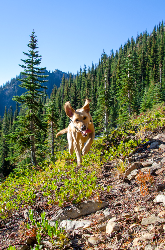
There are two main approaches to Red Mountain; we chose to climb from the northeast. The "trailhead" is more like a wide part of the logging road with a sign hidden in the brush. The trail started up steeply before leveling a bit. Tink was sprinting ahead and back to us as usual. Us being me and Daryl. (Daryl? We first met when my first kid was born.)
Thankfully, the trail moderated a bit before we found the split we were looking for. Sort of. The GPS showed we were at the trail junction and if you squinted just right you could kind of see a faint trail branching off to climber's right. Looks great! (Poor Daryl.)
What might have been a trail became definitely not a trail pretty quickly. We chose the easiest route through the sparse east side forest until we emerged from the trees. We were on an exposed ridge with amazing views to the north. Traveling just on rock made it easy to get to the summit.
Or was it the summit? Hard to tell. Red Mountain is more like a ridge with a number of high points running north to south. This first high point was the best of the ones we'd visit on this trip, but the others were worthy, too.
We followed the ridge south to what turned out to be the true summit (all of about 23 feet higher), but it had no really good places to stand. Minus two points. The next high point was the site of the old lookout. There was plenty of detritus left from the structure so it was easy to determine this spot was where it was.
After all the high points, it was just an easy walk to rejoin the more maintained trail back to the car. Except we couldn't figure out how to get around the lookout's location. The map showed the route dropped to the west of the high point, but that was a no go due to the high likelihood of sudden death by falling a long, long way. Going around on the east side was similarly challenging. Over the top? Nope.
So... we could go back the way we came. LOL. Those that have read my ramblings for a while know there's a very small likelihood we'd do that. Instead, I poked around a gully that just might go down to the valley where we could see the exit trail.
Was it an easy way to go? No. Was it safe? I'd prefer not to answer that. Did we make it down without injury? Somehow, yes. Looking back up the gully from the bottom it was even more surprising we'd come down that way.
The rest of the walk down the mountain was easy. Steep, sure. Rocky, sure. But not stupidly stupid like the gully.
So we won! Except we didn't manage to complete the loop as marked on the map. Of course there was that route from the south...
📍On the lands of the Yakama people.