One of the challenges of modern technology is the availability of information. As exhibit A: Songbird Peak.
It's on the non-Wilderness side of the valley and has been used heavily over the years. There are no big trees left and logging roads snake up each of the creeks. Still... it's close and somewhere I haven't been.
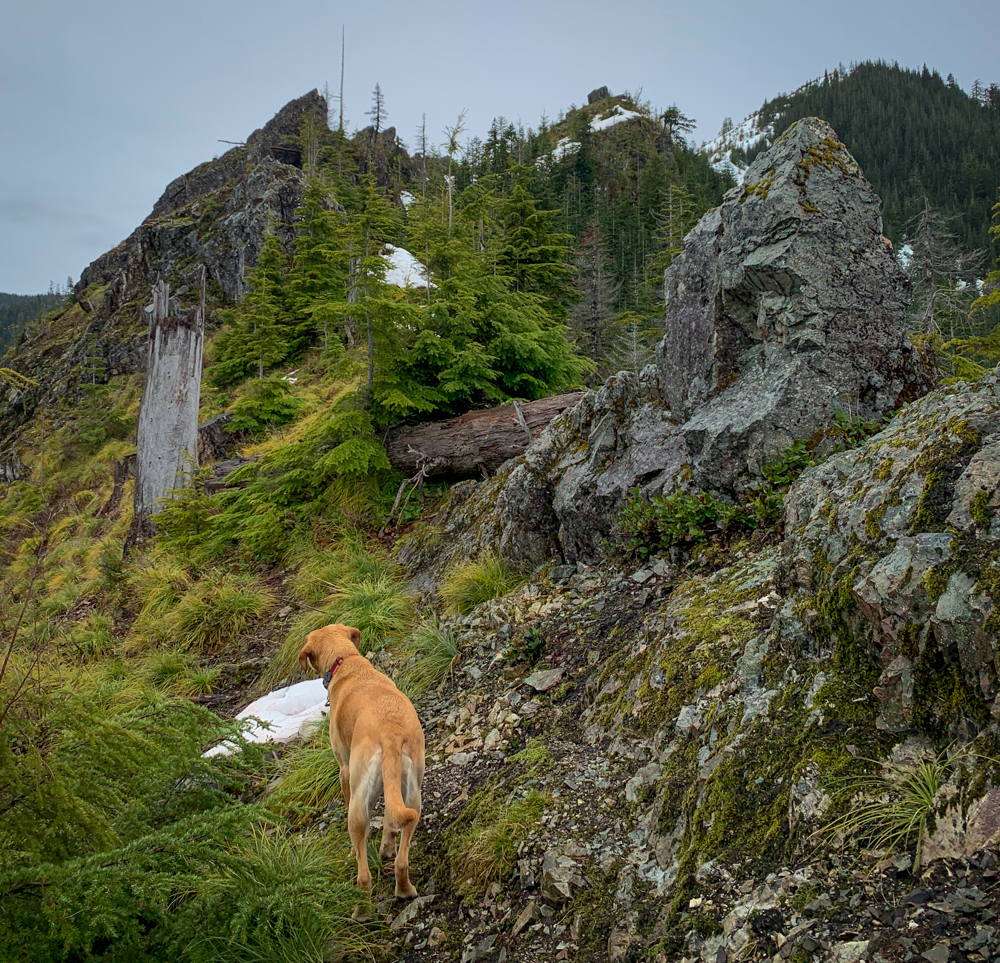
Tink and I headed out early and cruised up the trail until it ended. Then... into the unknown. The peak is at the end of a ridge so all we had to do to stay on track was keep going up. Except where we had to go around. The spine of the ridge was littered with rocks too gnarly to go over. We went around them climber's left or right depending on which side was a steeper drop and which side had more snow.
Speaking of snow, after passing a minor peak called "Easter Island" we were left to posthole up the final slope to Songbird. The snow was the consistency of a slushy and with each step we sank between a foot and four feet. Yeah, four feet.
On the summit, we could see tons and tons of neglected high points wedged between the valley bottom (and Interstate freeway) and the watershed that is strictly closed to travel.
I don't think I'll be short of destinations even if I do somehow run out of trails.
📍On the lands of the Snoqualmie people.