It is hereby declared to be the policy of the United States that certain selected rivers of the Nation which, with their immediate environments, possess outstandingly remarkable scenic, recreational, geologic, fish and wildlife, historic, cultural or other similar values, shall be preserved in free-flowing condition, and that they and their immediate environments shall be protected for the benefit and enjoyment of present and future generations.
It's pretty much the Wilderness Act for rivers. And wouldn't you know it? Two of those rivers are in our own backyard! (Ok, fine. Technically, the river in our actual backyard isn't wild, but it's scenic. And one of my favorites. But that's out of scope for this adventure.)
There hasn't been a thorough water quality survey on many of these rivers so we don't know how they're faring as the world changes. That's where the Adventure Scientists' Wild and Scenic Rivers project comes in and that was the excuse we needed to go adventuring.
Our assigned river is the Middle Fork of the Snoqualmie. We needed to take readings and samples from multiple locations miles apart. And then we'll do it again. And again. And... You get the idea. Our most downstream location was an easy walk from the paved road. The upstream location, though...
The first seven miles after the pavement ends is one of the gnarliest roads around. Huge holes that eat cars. Washouts that set off the proximity alarms on both the front and the back bumpers. At the same time! And mud. So much mud. Of course, that seven miles was nothing compared to the next seven miles. I remember driving that road a couple of times and it was terrifying to say the least.
Thankfully, the road is now closed to cars. I wouldn't have been wanted to be tempted. Instead, we mounted bicycles and pedaled three more miles. That put us far enough upstream to take our samples and at a spot where we could get to the river itself.
Out in the current, we took measurements of temperature, dissolved oxygen, pH, conductivity, salinity, and dissolved solids. You know, all the stuff you need to know about your river. (At our first sample site we also collected three separate water samples that would be shipped to a lab for further analysis.)
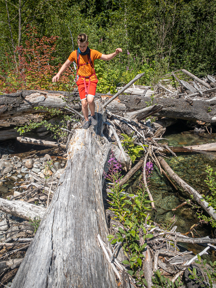
And we played in the river, threw rocks, poked at things with sticks. You know. Guy stuff.
I'm looking forward to visiting the same location multiple times each year and learn about how the river is doing based on the SCIENCE! we're doing. The only real challenge will be sampling in the winter. The road is usually snowed in by the end of October. Fingers crossed we'll be able to get where we need to. Or maybe it's time we invest in skis...